Visit www.cbisland.com to download a PDF map of Cape Breton Island.
NEW! GPS Coordinates:
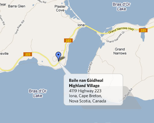
Latitude: +45° 56' 57.86", Longitude: -60° 48' 53.73"
Travel Directions: From Sydney: (approx 1 hour)
via Boisdale:
- Follow 125 to Exit 3 at Route 223
- Follow Route 223 west (Bras d'Or Lakes Scenic Drive) through Boisdale, Christmas Island and Grand Narrows
- Cross the Barra Strait Bridge to Iona. Highland Village is 1km southwest of Iona
via Eskasoni:
- Follow Route 4 south to Route 216 at Portage
- Follow Route 216 to Christmas Island and the junction with Route 223
- Turn left and follow Route 223 to Iona
From Canso / Port Hawkesbury (and points south): (50 to 70 minutes)
via Little Narrows Ferry:
- Follow Trans Canada Highway 105 from Port Hastings to Exit 6 at Route 223
- Follow Route 223 (Bras d'Or Lakes Scenic Drive) from Little Narrows to Iona
via Portage Road:
- Take Exit 4 (Orangedale Road) off TransCanada 105 to the Portage Road
- Turn left on the Portage Road. Follow Portage Road until it meets Route 223
- Turn right on Route 223 to Iona<
From the Cabot Trail / Baddeck / Victoria County: (45 minutes Baddeck)
- Take Highway 105 (TransCanada) to Exit 6
- Follow Route 223 (Bras d'Or Lakes Scenic Drive) east through Little Narrows to Iona
Site Map
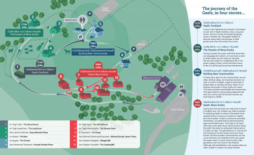
Download the Highland Village Site Map (726KB PDF)